Last update PvD
2.4 NML
Network Management Layer
Overview
[M.3010] The NML has the responsibility for the management of all the NEs, as presented by the EML, both individually and as a set.
It is not concerned with how a particular element provides services internally.
Functions addressing the management or a wide geographical area are located at this layer.
Complete visibility of the whole network is typical and a vendor independent view will need to be maintained.
The network management layer has three principle roles:
In short: Operate the whole network and exploit it as a resource.
By nature, NML is concerned with physically distributed systems, so typically involved with (geographical or topological) maps. It manages the NEs as a related collection, not the NEs individually. This is implemented through local functions in NEs having global impact. Typical subjects: routing, overflow, focussed overload, traffic data, etc. The management systems need to cope with multiple vendors, and most likely evolving technologies.
Though NML is basically concerned with the whole network, a particular NML instance is not necessarily responsible for all NEs. In particular when the network is large or covers loosely connected areas, there are likely to be several regional NML instances; an area of responsibility for a particular NML instance is called a domain.
Display a network (network elements: nodes and internal/external connections). For small networks the display should immediately show the individual nodes (geographical/physical sites); for large networks you need a layered approach (it will be impractical and undesirable to display a network of 1000 nodes in one picture: too many nodes, too much information, no added value; not of your interest, not your responsibility, potentially a security problem).
Layering can be achieved by domains: a geographical subnetwork (e.g. area of responsibility) or logical subnetwork (e.g. transit network).
Subviews: local region subnetwork, exchanges of a particular type (e.g. toll, local).
Managed objects: (examples)
Operations: (examples)
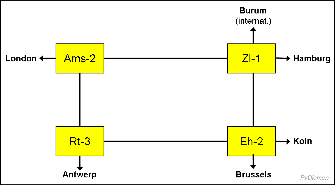
Display a stylised network in a functional way (topological, not geographic; display the function of a Point-Of-Presence (POP) like 'toll' or Network Access Points (NAP) like 'local').


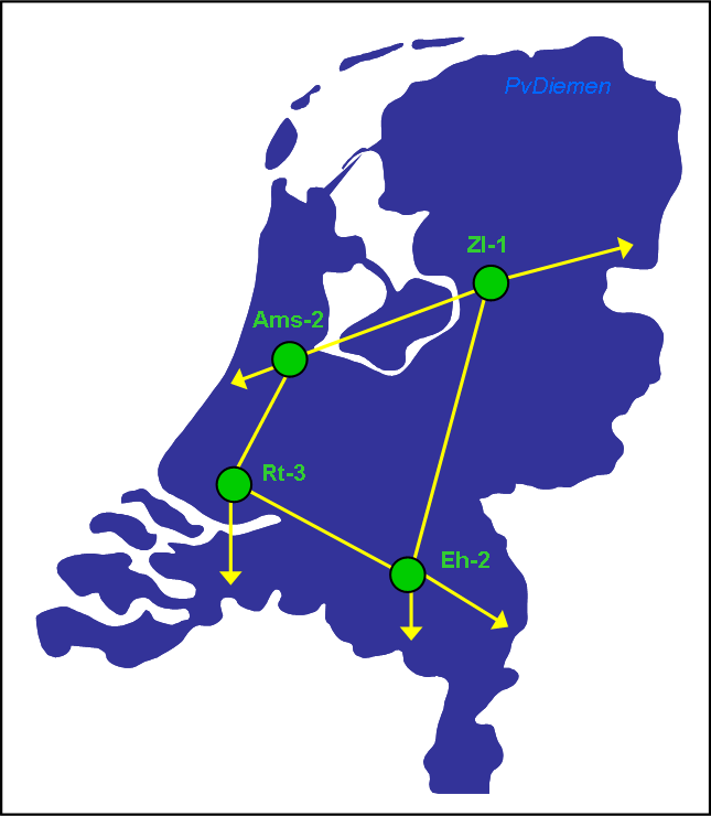
Display a network in a geographical map, i.e. the nodes (Points of Presence) and the interconnections (trunks) in their geography.
The map should only contain major landmarks (cities, towns; main roads, railroads, canals; sea, lakes, rivers; mountains) to support navigation. Too much geographical detail will clutter the view and bury relevant information.

Next section: SML
Up to Contents
Up to Index
=O=